Simply Unique
HISTORICAL MAPPING SERVICE
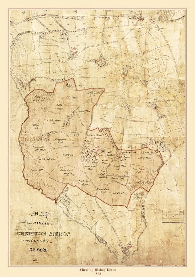
We add information to your Parish Tithe Map of 1837.
We research and apply the original field names and historic ownership which surround your property.
Each map is unique, and personally created for you.
Each map custom made
Maps can be customised to show what the farm owned in 1839 and what the farm owns today by digital shading, everything is inkeeping with the old look of the map including the typeface used


Why not add a photo to your map, and make it that more special
By adding a photo of the farm, property or family member’s to the map gives a unique appeal and would be a lovely addition if given as a gift.
We still create a sense of the old by changing to sepia or turning the photo into a drawing so it’s perfectly in keeping with the age.
Our Prices
Areas can be shaded to show the farm ownership today and include several maps converged to show this ownership.
For other sizes not listed and more field names, please make an enquiry below.
All prices exclude secure postage & packaging.
Please note, we dont currently accept Pay Pal only Bank Transfer
Map sized at A3
- Up to 10 fields named £90
- Up to 30 fields named £115
- Up to approx 50 fields named £150
Map sized at A2
- Up to 30 fields named £177
- Up to approx 50 fields named £212
- Up to approx 80 fields named £275
Map sized at A1
- Up to 30 fields named £225
- Up to approx 50 fields named £260
- Up to approx 80 fields named £305
How to order your map
We’ll need your post code, your farm/property name, and a google map/satellite image of your property boundary. Choose the size you would like and how many fields you wish to have named, (you have an option of also adding a picture of your family or property) this will enable us to estimate your map. To get started, make an enquiry including these details.
Testimonials
What People are Saying?
“It looks fantastic!”
“I’ve just received my map through the post, it looks fantastic! Thank you so much for all your hard work I know it wasn’t the most straightforward map! My husband will love it!”
“It is beautiful”
“The map arrived today. It is beautiful. I am really pleased with it! It’s actually amazing how many of the field names have survived even to today. Worth every penny. I really hope my husband likes it as much as I do.
Thank you very much.”
“Great find !”
“Absolutely thrilled with the maps thank you so much! What a find you were!
Thank you so much!”
“Outstanding“
“Many thanks for the maps-your helpfulness, patience, efficiency and skills are outstanding. I am really pleased with the maps. I will leave a recommendation on Farmers Forum where I got your details from and anywhere else you would like me to.”
What is a Tithe Map?
The Tithe commutation act of 1836 was brought about to change the way that tithes were paid to the church. These were originally payment in kind ( one tenth of crops or livestock given by each tithe holder) hence the need for big tithe barns to hold most of the produce for this purpose.
The payments in most parishes were paid grudgingly, causing many local disputes. This system had been in place for a very long time and it was felt that it was time for a change.
Monetary payments were felt to be a better option and hence a need to assess the liability to pay a Tithe rent charge by the tithe holders in each parish.
This led to nearly 12000 parishes or districts being mapped throughout England and Wales giving the most comprehensive view of agriculture and the way Britain was farmed since the Doomsday survey.
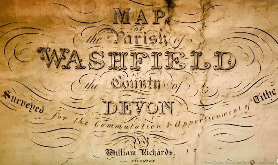
Maps included the acreage and usage of each parcel of land, field names, the amount of the rent charge payable and the names of the tithe owners, and occupiers.
There were usually 3 maps made, one sent to the commissioners in London ( the best one) and 2 other copies were kept by the church and diocese.
Nowadays those maps that have survived nearly 200 years are either in the local record office or in the National Archives in London.
![1[1]](http://yourforgottenfields.co.uk/wp-content/uploads/2020/12/11.jpg)

Get in touch
or head over to facebook and instagram to see what we've been up to
© Your Forgotten Fields © The Genealogist © Crown Copyright, images reproduced courtesy of the National Archives, London England.
